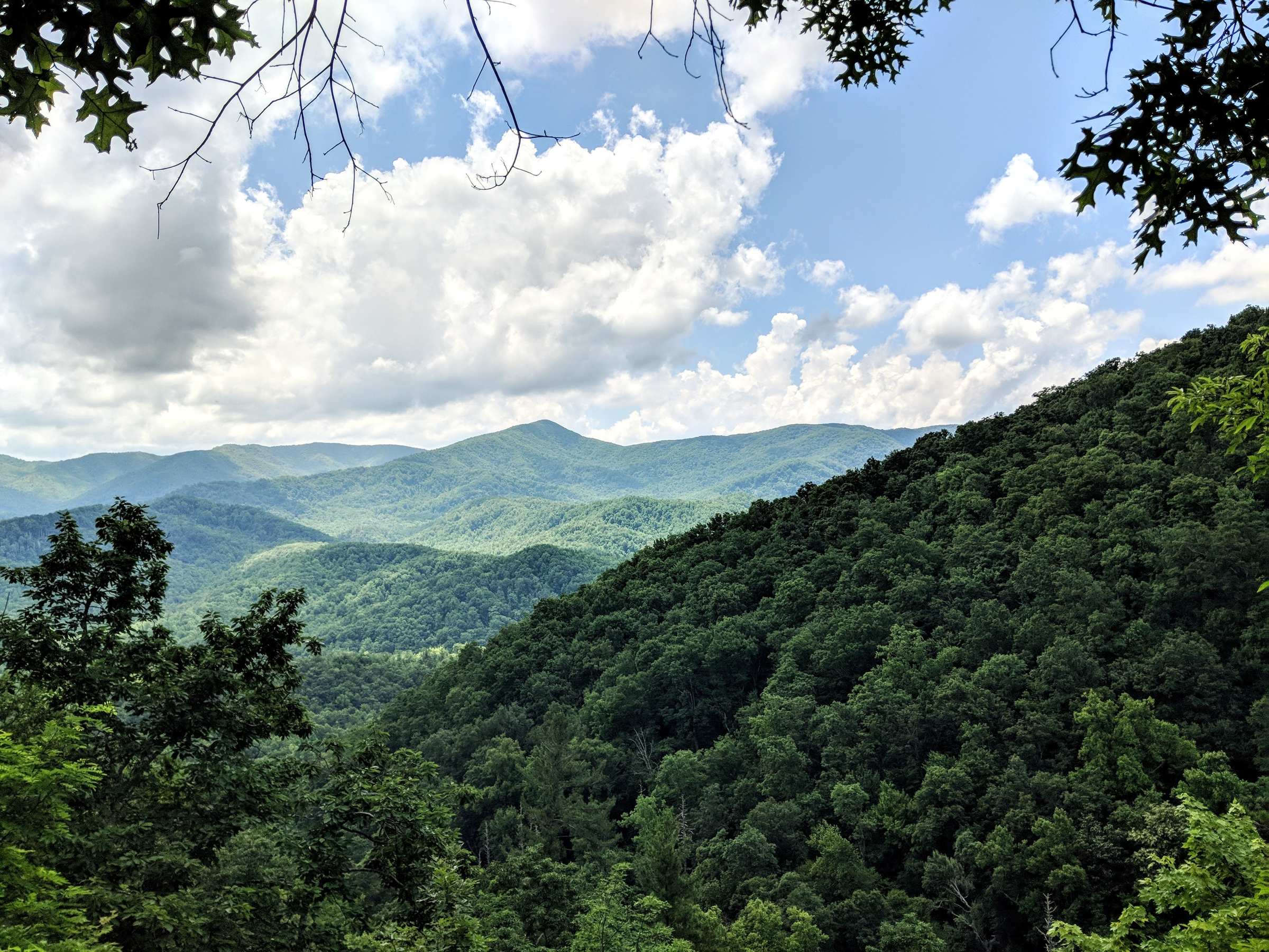
Mount LeConte is one of the most popular and most talked about destinations in the Smoky Mountains. At 6,593 feet, it’s the third highest peak in the Great Smoky Mountains National Park and boasts amazing panoramic views. Here’s everything you need to know about Mount LeConte:
The Hike

The hike to the peak of Mount LeConte is a long one, but it’s worth it. This hike is an 11-mile round trip beginning at the Alum Cave Trailhead. With a total elevation gain of 2,763 feet, this hike is considered strenuous. This doesn’t stop visitors though! Mount LeConte is one of the most popular hikes in the Smoky Mountains, so you may want to arrive early to beat the crowd. The hike to the top features panoramic views, steep drop offs, and beautiful Smoky Mountain wildlife. Once you reach the LeConte Lodge at the top, you have two options. You can continue to hike for 0.4 miles to Myrtle Point, or take a 0.5 mile round trip past the lodge to a lookout point called Cliff Top. Myrtle Point is most frequented by hikers waiting for the sunrise, but both points provide spectacular views of the Smoky Mountains!
The Weather
When visiting Mount LeConte, you should consider that the weather will be very different from the weather in Gatlinburg. Temperatures at the peak may vary 15 to 20 degrees from the weather at the trailhead. Temperatures in the teens, high winds, and heavy snow and ice are not unusual on Mount LeConte, so prepare accordingly! Weather conditions change rapidly in the Spring and the Summers are mild. The record low temperature on Mount LeConte is -32 degrees Fahrenheit, while the highest temperature ever recorded is 85 degrees Fahrenheit.
The Routes
There are five different trails that you can take to reach the summit of Mount LeConte. Each trail leads to the same destination, but you’ll encounter diverse geography and wildlife depending on which route you choose.
Alum Cave Trail

The Alum Cave Trail is the most popular route to reach the peak of Mount LeConte. This trail is strenuous on the way up, but it provides the easiest descent. This route also allows you to pass Alum Cave Creek, Arch Rock, and an excellent lookout point called Alum Cave Bluff.
Boulevard Trail
The Boulevard Trail follows a narrow path with steep sloped forests on either side. This route starts at the highest elevation out of all the trails, and continues to dip and rise as you hike through the miles. This is known to be one of the tougher trails, but it provides lots of rewards along the way including views of the Smoky Mountains in North Carolina and a wide variety of wildflowers.
Trillium Gap Trail

The Trillium Gap Trailhead is located just outside of Gatlinburg. This trail begins with walking through an old growth forest containing large hemlocks. Next, you’ll pass Grotto Falls, a 25-foot high waterfall that gives off a refreshing mist. Eventually, this trail dead ends into the Rainbow Falls Trail, which you’ll follow to the top of the mountain!
Bullhead Trail
The Bullhead Trail to Mount LeConte begins at the Rainbow falls Trailhead just outside of Gatlinburg. Bullhead is more exposed than the other routes, so it can be hot if you hike it in the Summer sun, but this also provides clear views of the Smokies along your hike!
Rainbow Falls Trail

If you want to add another feature to your Mount LeConte hike, try the Rainbow Falls Trail! The Rainbow Falls Trail starts at the same place as the Bullhead Trail, but the path is shadier and cooler. After hiking 2.7 miles and crossing two footbridges, you’ll reach Rainbow Falls, a beautiful 80-foot high waterfall. Continue for 4.2 miles and you’ll reach the peak of Mount LeConte!
Hiking Mount LeConte can be challenging, but it’s also extremely rewarding. If you’re planning a trip to visit Mount LeConte, find more Smoky Mountain hikes and book your trip today!


